Harnessing Earth Observation Power
Take actions for data-driven and informed decision-making
Our mission
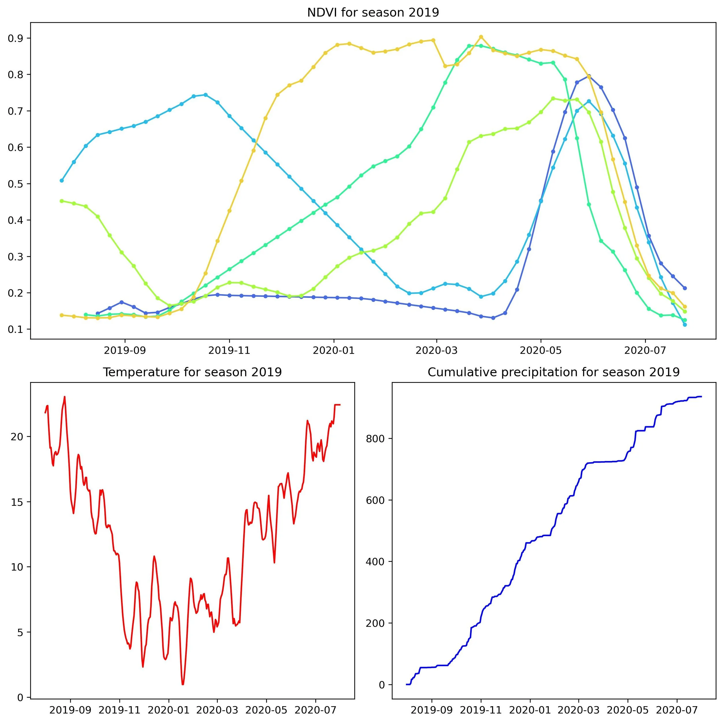
Earth Observation, which encompasses the collection, analysis and presentation of satellite data, is becoming increasingly useful for monitoring natural changes and human activities, with a panel of remote sensing sources available. Using high-resolution satellite data allows GeoWatch Labs to:
globally monitor changes
work in real time
understand local contexts
GeoWatch Labs enables individuals, corporations and public entities to exploit the wealth of information remote sensing data analysis provide for informed decision-making.
What we do


