Harnessing Earth Observation Power

GeoWatch Labs enables you to take informed and data-driven decisions based on Earth Observation analysis.

Earth Observation

Earth Observation, which encompasses the collection, analysis and presentation of the data, is becoming increasingly useful for monitoring natural changes and human activities, with a panel of remote sensing sources available.

GeoWatch Labs enables individuals, corporations and public entities to exploit the wealth of information remote sensing data analysis provide for informed decision-making.

Products

GeoWatch Labs Earth Observation for Agriculture Monitoring


Numerous layers of information

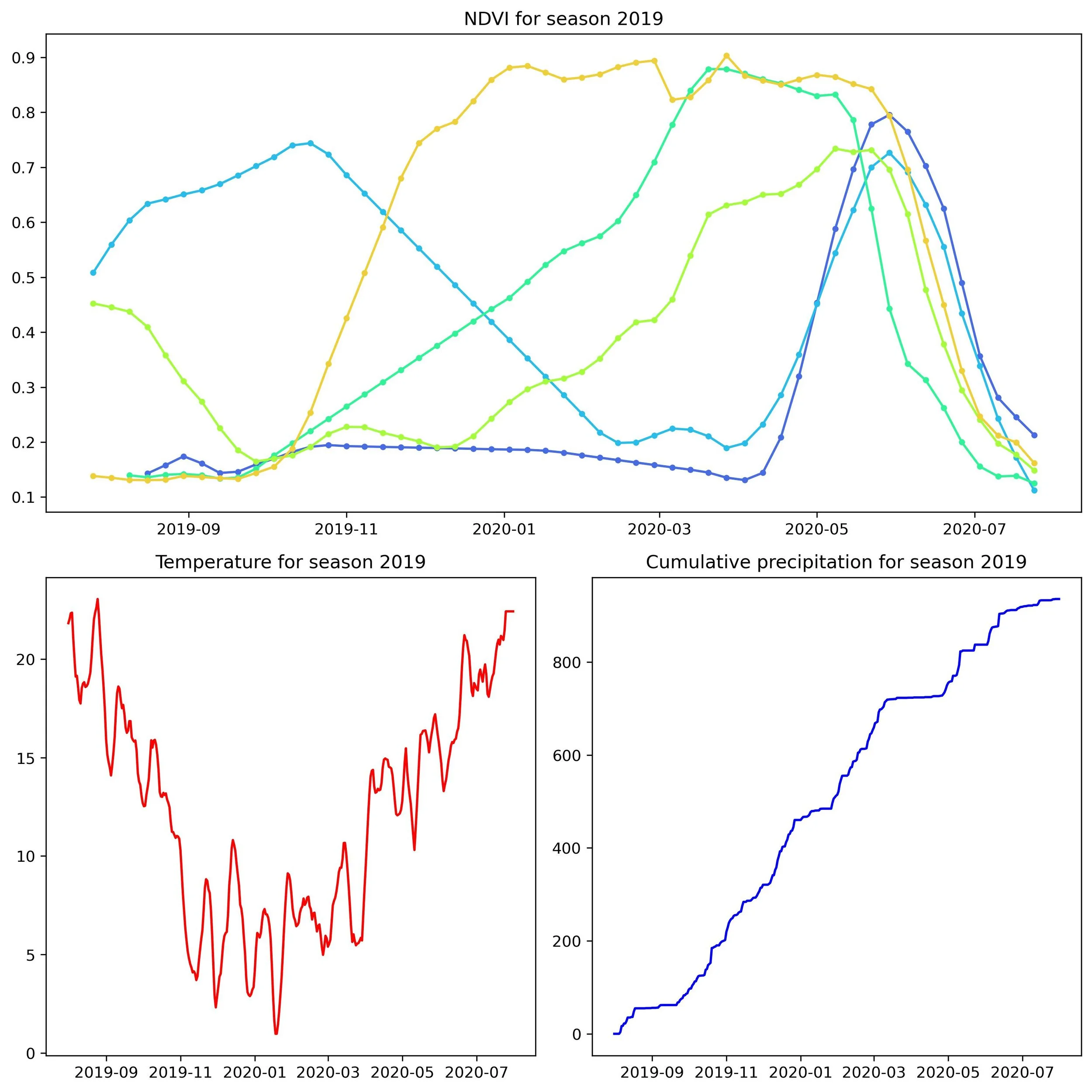
GeoWatch Labs convolutes multiple layers of information, comprising of satellite imageries, crop-specific remote sensing climatic variables and local farming practices and agricultural characteristics, to capture all parameters influencing field yields.

Composite satellite imagery of the Northern part of the county of Dane, Wisconsin, USA (left), and respective crop-type classification (right - corn: yellow, soybean: green, and alfalfa: pink).

Crop-specific modelling

A first step to monitor farming activity is not only the extraction of agricultural areas, but also the classification of fields per crop type using satellite imageries analysis.

Crop-specific phenological modelling can then be applied on each field.

Continuous monitoring

GeoWatch Labs daily monitoring of relevant remote-sensed variables and satellite imageries analysis allows to monitor the evolution of crop growths, and predict local agricultural yields with a 10 meters spatial resolution.

GeoWatch Labs directly focuses on the productive attribute of crop fields, i.e. the yields, as it is the only metric important to agricultural actors.

Corn productive growth over the 2016 agricultural season in the county of Dane, Wisconsin, USA.

We work with